

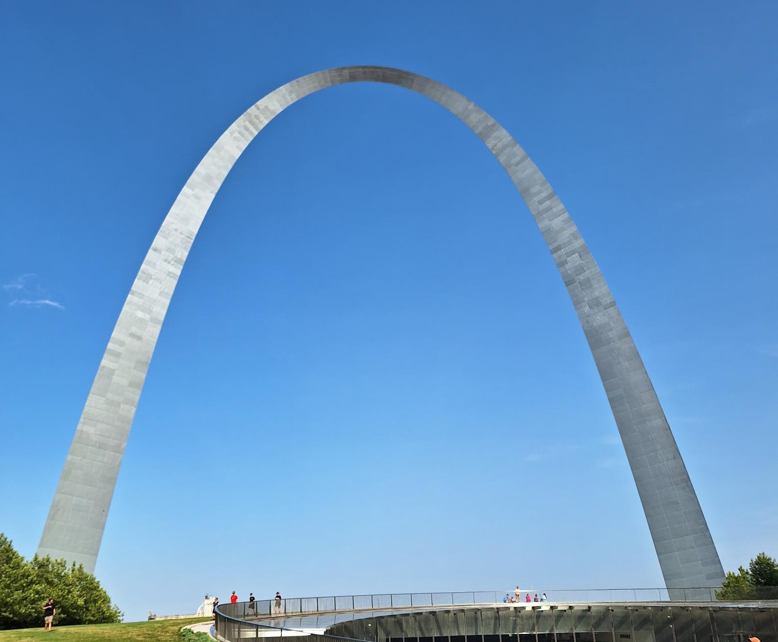
Gateway Arch, St Louis
Last week I attended the June member meeting of the Open Geospatial Consortium (OGC) in Huntsville, Alabama, USA. OGC is a consortium of geospatial experts committed to improving access to geospatial information, and supporting data exchange through standards. We were there to join in the discussions and present our work within the OGC 2023 Disaster Pilot and the Climate Resilience Pilot activities.
Unfortunately, a delay in my flight leaving Bristol on Saturday meant I missed my onward connection and so I didn’t arrive until Monday afternoon, twenty-four hours after I’d planned. The session on the Disaster Pilot activity was on Monday afternoon, and so Andy had to step in and remotely present our work-in-progress on the User Guide, Provider Guide and Operational Capacity Guide. These documents will give details of the workflows and applications developed by participants, and how disaster and emergency communities can operationalise them. If you’re interested in this work, previous versions of the Guides can be found here.
These Guides aim to provide supporting documentation to unpin the technical activities being undertaken in the Pilot by the broad range of participants – we are also working on a Drought Severity workflow. The Pilot is focused on responding to natural disasters, specifically droughts and wildfires.
Of course, while we were talking about wildfires, the reality of this disaster was in the news with the current wildfires in Canada creating large smoke plumes stretching down into the USA and affecting cities such as New York. This certainly hit home to all the delegates at the meeting as to the importance of the work, and how geospatial workflows and tools have the potential to improve disaster response, limit damage, and even save lives.
On Friday, a half-day climate workshop began with an overview of Climate Resilience Information Systems by the OGC climate lead, Nils Hempelmann. A series of talks from a selection of Climate Pilot participants followed this. Dean Hintz (Safe Software) reviewed data pipelines, considering how complex climate scenario datasets can be converted into simpler formats that retain the information end users need. Timm Dapper (Laubwerk GmbH) and Sacha Leprêtre (Presagis) showed the benefits of viewing data in virtual environments that reflect the real world but are affected by climate change’s impacts. I presented the Drought workflow we’ve been developing, which tested different input data sources and then visualized the results within both Python and QGIS. The session finished with Paul Schattan’s (alpS GmbH) presentation on communicating climate information to stakeholders.
On Saturday, I joined several people from the Member meeting as we all went on a road trip from Huntsville to St Louis, Missouri, as this week I’m taking part in the OGC Tiling Interfaces Code Sprint at the Moonshot labs of the US National Geospatial-Intelligence Agency. I’m looking forward to spending three days focused on coding with a group of geospatial enthusiasts.
I’m spending the month in North America as at the end of June I’m in Winnipeg, Canada, for a workshop on the Disaster Pilot meeting with disaster and emergency community stakeholders. To save flying back and forth across the Atlantic, I’m spending next week in Chicago and will travel by train from St Louis. So this trip is a bit like the film Planes, Trains and Automobiles for me.
It’s fascinating to spend time with a broad range of people working in the geospatial space in various ways and see what is happening in the broader community.
