

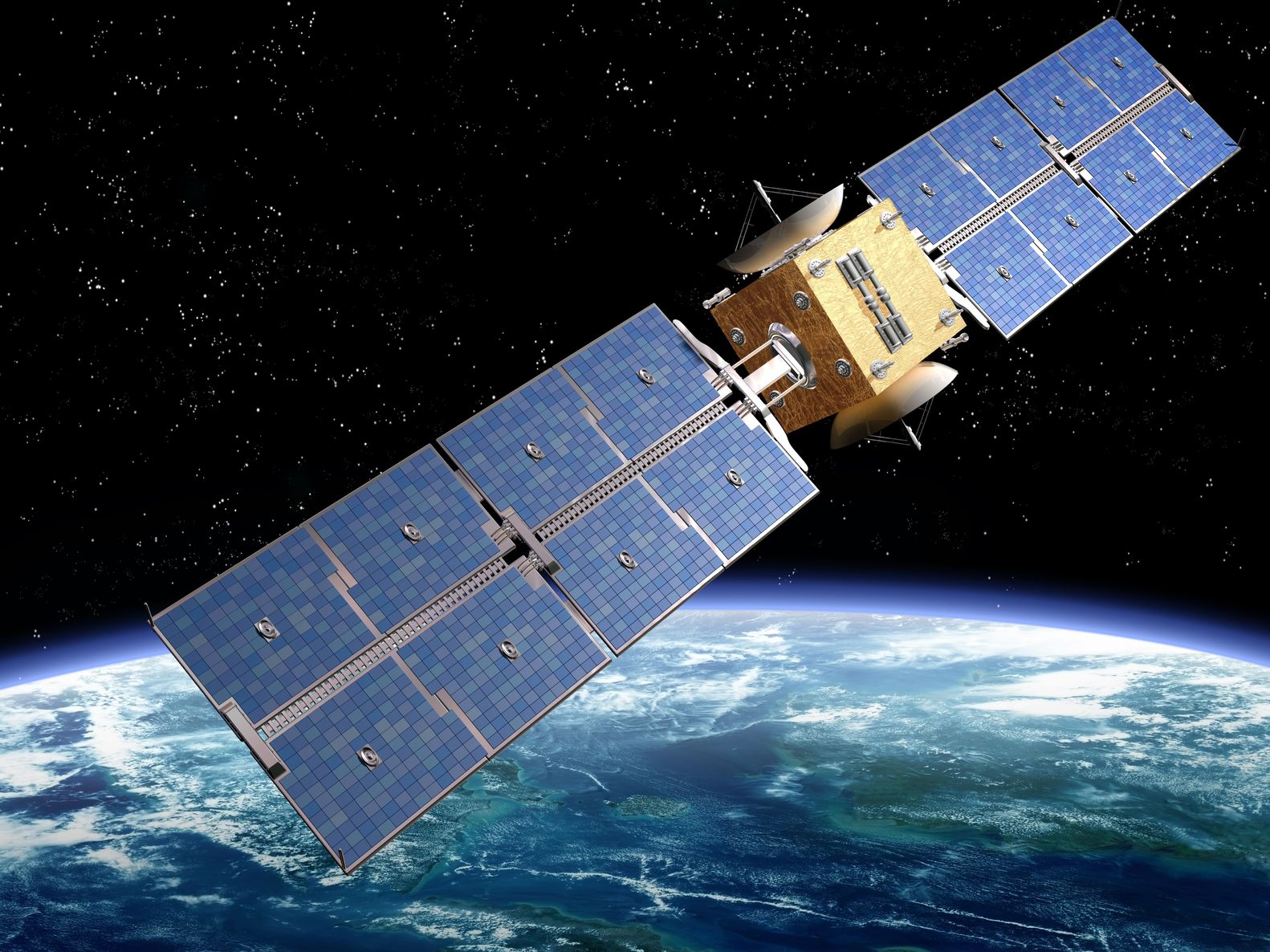
Artist’s rendition of a satellite – paulfleet/123RF Stock Photo
A couple of interesting reports have come out of Brazil this week concerning the monitoring of deforestation from space.
Firstly, it was reported that the Indian Space Research Organisation (ISRO) is planning to launch the first Earth Observation satellite designed, assembled, tested and operated in Brazil. The satellite, Amazonia-1, is due to launched in August onboard the Polar Space Launch Vehicle from the Satish Dhawan Space Centre along with a number of other smaller satellites, although the precise launch date is still to be confirmed.
Amazonia-1 will be operated by Instituto Nacional de Pesquisas Espaciais (INPE), Brazil’s Space Agency, and it carries an Advanced Wide Field Imager which will offer imagery with a spatial resolution of 60 m and a swath width of 850 km. The imager will have three bands in the visible spectrum and one in the near-infrared. It will go into a sun-synchronous orbit at approximately 750 km altitude and will provide global coverage with a temporal revisit of five days.
This satellite will be the first of the Amazon programme that aim to provide Brazil with data and images to observe and monitor deforestation, particularly within the Amazon region. With this focus on land observation, it is expected to provide such as land cover, leaf area index, biomass, fraction of Absorbed PAR (light) and fraction of vegetated land to support wider agriculture in the country. In addition, it will help monitor coastal areas, water resources and will support natural disasters such as forest fires. The data is expected to be available to Government Agencies, the scientific community and other interested users. The mission will have three satellites, and Amazonia-1 will be followed by Amazonia-1B and Amazonia-2 in the coming years.
Whilst these satellite missions will help improve the monitoring of deforestation it is interesting to note that in the same week it was confirmed the Brazilian Government’s Science and Technology Minster fired Lubia Vinhas, the general-coordinator of INPE’s Earth Observation Institute, whose department is responsible for satellite monitoring of the Amazon rainforest. The sacking occurred a few days after the release of the latest data, which indicated a continued increase in deforestation. In June 400 square miles, 1,034 sq km, of deforestation occurred, which is a new monthly record since data started being collected in 2015; and for the first six months of this year, it gives a total of 1,890 square miles, 3,069 sq km, which is an increase of 25% from 2019.
The reason for sacking is not clear, just over halfway into her expected tenure, but the timing has led to theories that it was linked to the data – particularly given that Brazilian President Jair Bolsonaro has a policy of promoting economic development in the Amazon. After the fires last year, the President put the Army in charge of curbing deforestation, but the latest satellite data suggests this is yet to have an impact. Observers suggest that the Government wants to take a greater role within INPE and that a similar firing took place in 2019 when the President accused the then-head of INPE of manipulating satellite deforestation data to undermine his administration.
This is an interesting backdrop from which to launch a new satellite mission to improve knowledge and understanding of deforestation in the Amazon. It also shows satellite data has an impact and consequence right at the heart of Government.
