

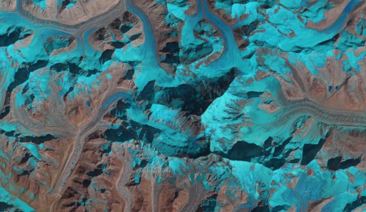
Mount Everest, acquired by Landsat-8 on 16th February 2020. Data courtesy of NASA/USGS.
After everything else that has happened in 2020, it was revealed yesterday that Mount Everest is actually bigger than was previously thought. This also means that the highest point on Earth is higher than anyone thought!
The new height of Mount Everest, or Mount Qomolangma as it is known locally, is 8,848.86 metres (29,032 ft), and was jointly announced by China and Nepal in an exchange of letters between the Chinese President Xi Jinping and the Nepalese President Bidya Devi Bhandari on Tuesday 8th December 2020.
Historically, the two nations have differed over the height of the mountain. The Chinese measured the rock height, whilst the Nepalese included in the height the snow on top of the summit.
It is suggested that the first survey of the mountain was first undertaken by the Chinese in the eighteenth century, although the recorded height is not known. There are six known Chinese surveys of the mountain, with the first in 1949, and the previous two recorded heights of 8,848.13 metres (29,029 feet) in 1975, and 8,844.43 metres (29,017 feet) in 2005. Whereas, the Nepalese have been using the height of 8,848 m (29,029 ft), based on a 1954 survey.
To resolve this dispute over the last two years, surveyors from both countries have undertaken new measurements. As we wrote about earlier this year, a joint team of Chinese surveyors climbed the mountain this spring to undertake the research whilst it was closed to other climbers due to Covid-19 – they were the only climbers to reach of top Mount Everest during 2020; whereas, their Nepalese counterparts undertook their work last year.
The most recent surveys have taken advantage of new technology, including satellites. The Nepalese team use the Global Navigation Satellite System (which include GPS and Galileo) and as part of their measurements, whilst the Chinese team used the Chinese Beidou satellite navigation network, a Chinese alternative to both GPS and Galileo. Both teams also used trigonometry formula to calculate their heights. Comparing their research, the two teams have jointly agreed on the new snow height of the mountain peak based on the International Height Reference System.
Whilst this new official height has just been agreed, it is unclear how long it will remain. Geologists have suggested that the tragic 7.8 magnitude earthquake in 2015 will have impacted the mountain’s height –other Himalayan peaks close to epicentre of the quake were found to have shrunk by 1 m after the event. In contrast, the shifting Indian and Eurasian tectonic plates that the mountain sits on are pushing the Himalayas upwards at an average of 1 cm every year.
The survey teams have suggested that the mountain ought be resurveyed at least every 15 years, as they would expect the height to change over that period. It will be interesting to know what technology might be able to help the next survey and what the world will be like as Mount Everest looks down on the planet.
