

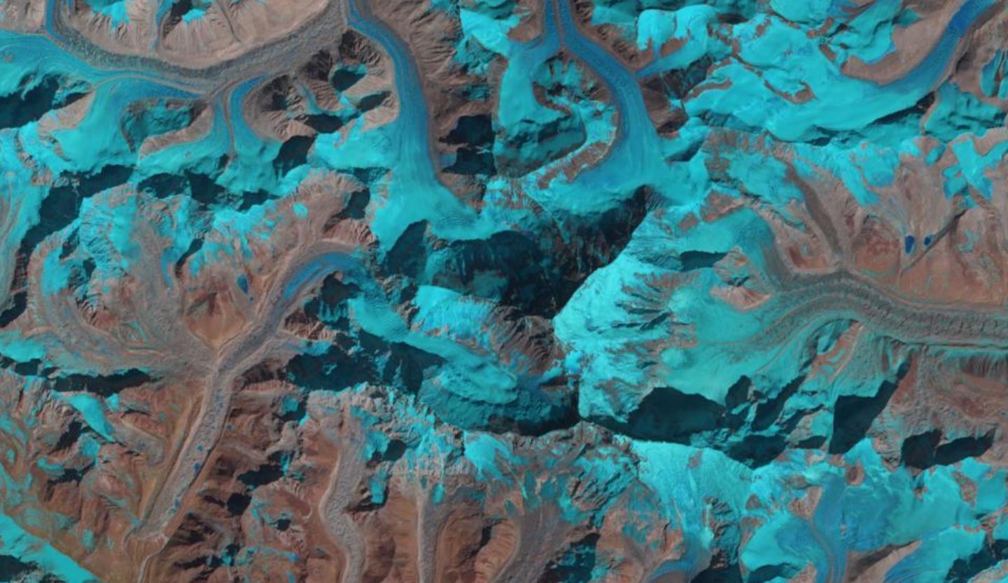
Mount Everest, acquired by Landsat-8 on 16th February 2020. Data courtesy of NASA/USGS.
ESA published an article this week describing the work that two Norwegian researchers had undertaken with Copernicus Sentinel-2 data to help people climb Mount Everest – which is something that caught our eye! The researchers, Dr Bas Altena and Professor Andreas Kääb from the University of Oslo published the paper ‘Ensemble matching of repeat satellite images applied to measure fast-changing ice flow, verified with mountain climber trajectories on Khumbu icefall, Mount Everest’ in the Journal of Glaciology with Cambridge University Press during August.
The article described how researchers focussed on an issue faced by mountaineers who wanted to climb Mount Everest from the Nepalese side as they have to follow a route across the Khumbu glacier. Sited in northeastern Nepal this is the world’s highest glacier and must be crossed to get to one of the Everest basecamps at Western Cwm. The glacier has the Khumbu icefall which is the first significant obstacle for climbers on the standard south col route to the Everest summit, as they need to ascend almost one thousand metres over terrain covered with crevasses, large pillars and ice walls.
It supports climbers to get to the summit by the Nepalese ice doctors who, at the start of each climbing season, create a safe path across the glacier through placing ladders over crevasses and attaching guide ropes. Within a glacier the faster flowing ice tends to be in the middle, and it is at the edges that the ice factures which can change the crevasses or cause new ones to appear. Where the ice is constantly on the move, the safe route is regularly monitored and repositioned when necessary.
The speed of the ice movement on the glacier, known as glacier velocity, depends on factors such as thickness, surface steepness, temperature, bedrock of the glacier and whether it is a clean ice or debris covered glacier. The Khumbu icefall is a combination: being debris covered at the lower altitudes with clean ice near the Everest basecamp. Feature tracking remote sensing techniques using optical or radar data, including interferometry, can provide methods to identify velocity patterns and show how the ice is moving. However, this has never before being done for the Khumbu glacier as it is funnelled through a narrow corridor of rock, causing disorderly fracture ice to flow downward and making the feature tracking difficult.
Therefore, researchers used an innovative image matching technique called ensemble mapping with optical Sentinel-2 data to map the glacier and identifying the dangerous areas to help the ice doctors manage and monitor the routes through the icefall. A series of Sentinel-2 images were acquired around a specific date, with an automatic cloud classification technique applied. However, due to the issue with snow and ice appearing like clouds the researchers created a median composite image for the period they were looking at. The composite images were paired up for the same orbital path, and matched if they were separated by 10 days to ensure they were observing the glacier from the same satellite viewing angle. Finally, the pairs were combined with, possibly, the highest citizen science data records. Everest mountaineers Didrik Bakke Dukefoss and Thomas Erling Lone volunteered data from their personal satellite navigation devices from their climbs to help verify and ground truth the velocity generated from the ensemble mapping technique.
The results were that this technique gave a success rate of roughly 80% compared to the ground data, and the team hope that this technique may help the ice doctors better understand how this glacier is moving and enable them to identify potential dangerous areas earlier.
This is an interesting example of using satellite data and remote sensing techniques.
