

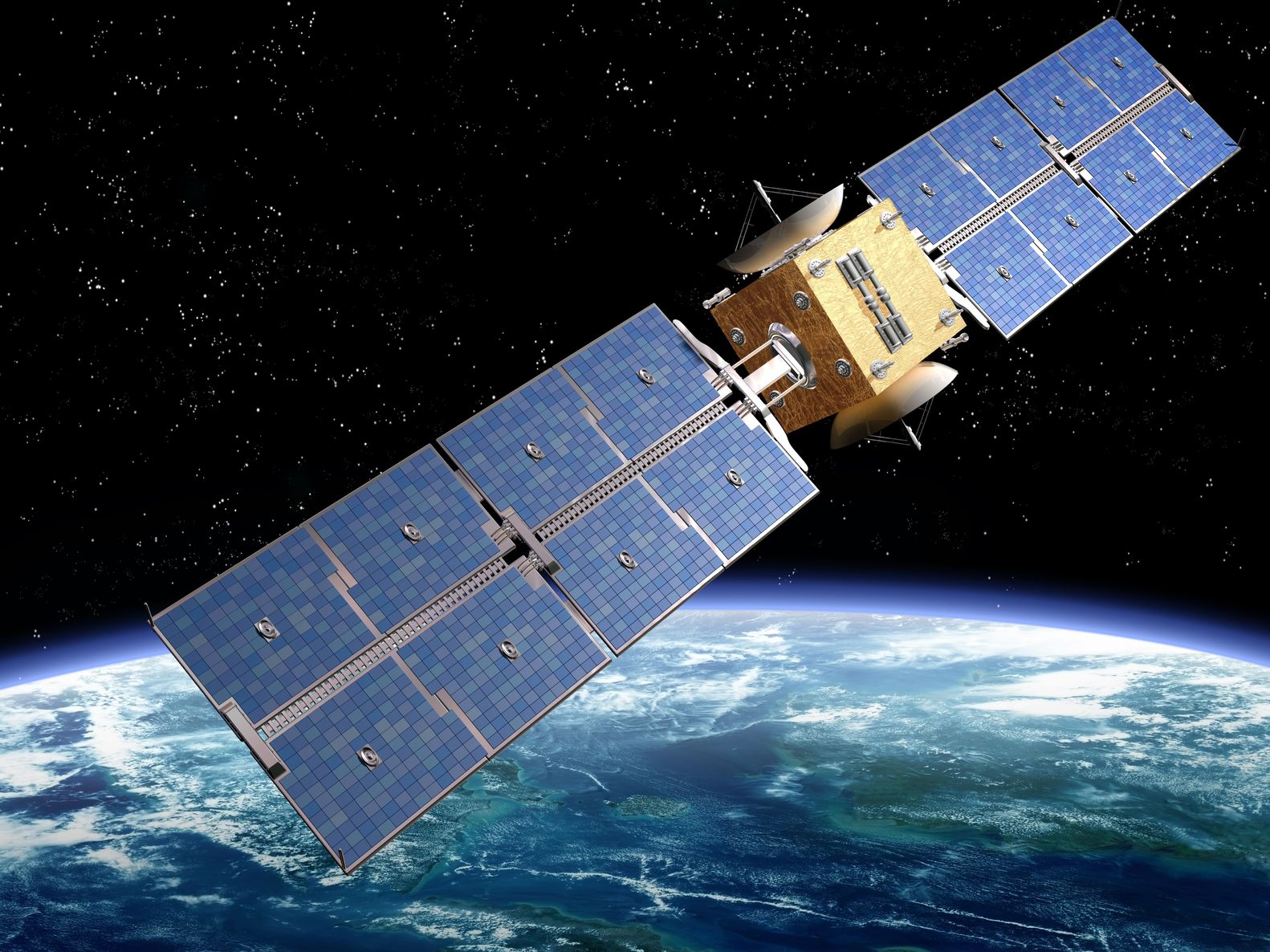
Artist’s rendition of a satellite – paulfleet/123RF Stock Photo
It is the start of an exciting few weeks for the Earth Observation (EO) satellite industry with a number of launches in the coming weeks including the delayed Oceansat-3 which we’ll talk about next week, the UK’s first satellite launch (we hope!), and four WorldView Legion satellites at the start of next month. There has also been confirmation about the beginning of the end for MODIS.
New Launches
The Pléiades Neo 5 and 6 satellites are scheduled to be launched on the 23rd November 2022 on the Vega C rocket from the French Guiana Space Centre on the northern Atlantic coast of South America. These twin commercial EO satellites, operated and built by Airbus Space and Development, will join the two existing orbiting Pléiades Neo satellites in a four strong constellation operating in sun-synchronous orbits at an altitude of 620 km; the earlier satellites were launched separately last year. The four have identical very high-resolution optical Pléiades Neo Imagers, which offer seven spectral bands, a 14 km swath and a ground spatial resolution of 1.2 metres in multispectral mode and 30 centimetres in panchromatic mode. The satellites about to be launched have enhanced laser links to increase data download speeds. The data can be used for applications such as land cover, Leaf Area Index (LAI), Normalised Difference Vegetation Index (NDVI), biomass, vegetation and soil assessments amongst many others.
Moving from satellites due to launch to one that did launch last week, the Joint Polar Satellite System-2 (JPSS-2) weather satellite was successfully launched on the 10th November via the Atlas V 401 rocket from the Vandenberg Space Force Base in California. The satellite is a partnership between NASA and the National Oceanic and Atmospheric Administration (NOA) and has four instruments onboard:
- Advanced Technology Microwave Sounder (ATMS)
- Cross-track Infrared Sounder (CrlS)
- Ozone Mapping and Profiler Suite (OMPS) although technically there are two of these instruments as there is a nadir and limb version.
- Visible/Infrared Imager Radiometer Suite (VIIRS)
JPSS-2 will join two other existing polar-orbiting satellites, the NASA/NOAA Suomi National Polar-orbiting Partnership satellite and NOAA-20. These three form NOAA’s Joint Polar Satellite System, and between them they cover the whole globe twice a day.
Lingering Satellite Death
Earlier this year it was confirmed that the Terra and Aqua satellites that carry the Moderate-resolution Imaging Spectro-radiometer (MODIS) instrument, were coming towards the end of their lives and data collection was likely to stop in 2023. There was a recent consultation and it was confirmed that the satellites now only have enough fuel onboard to deorbit and so they are slowly drifting to later and earlier orbits. It is forecast that Aqua is moving towards a 3pm crossing of the equator by late 2025, from its current 1.30pm crossing. While Terra will move from a 10.30am crossing to a 9am one in the same period. As these missions are getting more expensive to run, it is expected that NASA could end data collection as early as next summer.
This will mean that the related follow-on NASA PACE hyperspectral mission will not overlap, as it is not due to launch until the first part of 2024. Anyone running systems using MODIS data will need to move to Sentinel-3 or the VIIRS instruments onboard either the NASA/NOAA Suomi National Polar-orbiting Partnership, NOAA-20 or, the recently launched, JPSS-2 satellites!
This is going to require algorithm development and testing for anyone using MODIS in a product, as we do, and organisations will need to get this planned into their development cycle for the first half of next year.
