

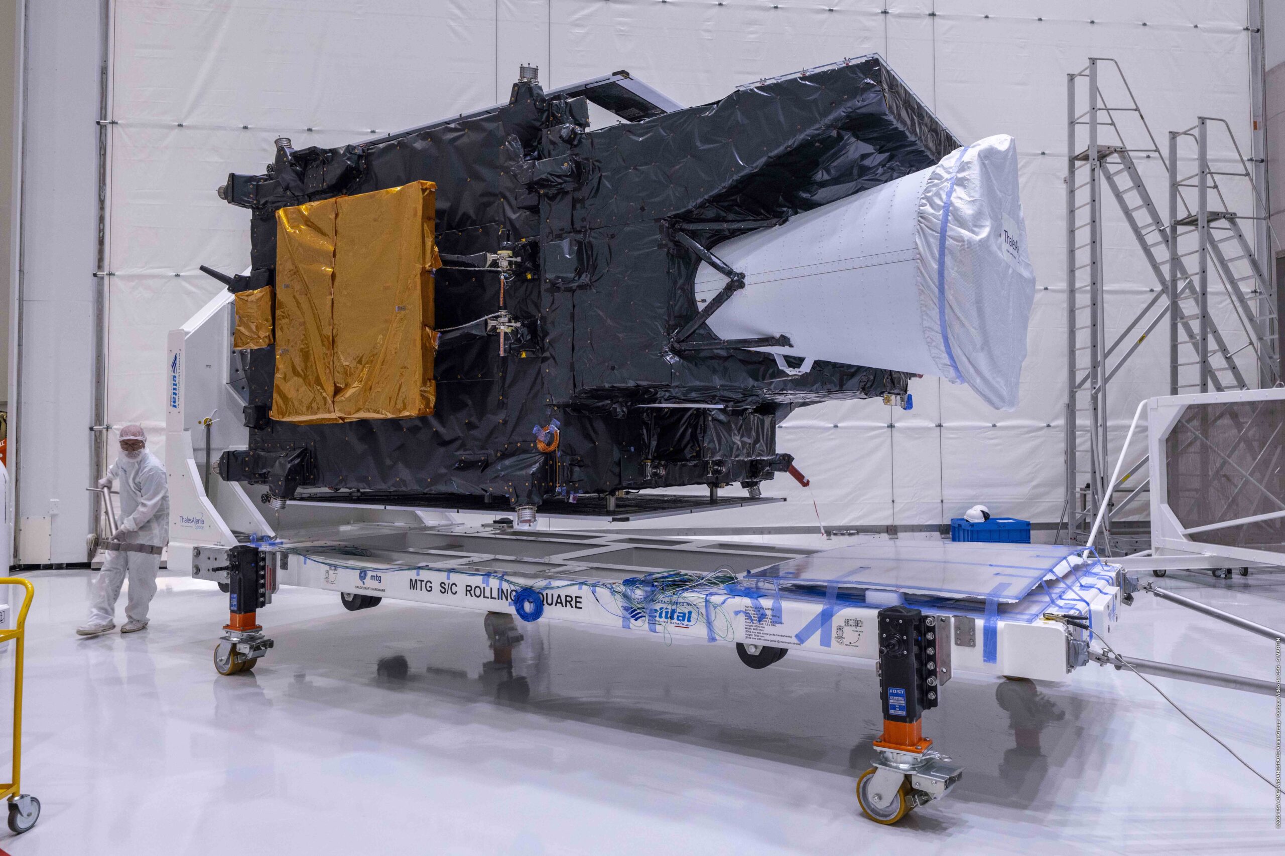
MTG-I2 taken out of its protective casing in preparation for launch.
Credit:
ESA-CNES-ARIANESPACE-ArianeGroupOptique Video de CSG – S. Martin
Latest Earth Observation (EO) geostationary satellite launches, firstly with the Meteosat Third Generation Imager weather satellite at the end of August, and the anticipated launch of India’s EOS-05 satellite later this week.
Meteosat Third Generation Imager satellite
Last week, 27th August, the second Meteosat Third Generation Imager satellite (MTG-I2) was successfully launched by the Ariane 6 rocket from Europe’s Spaceport in French Guiana. The satellite was put into a geostationary orbit at just below 36,000 kilometres.
The MTG-I2 has two instruments on board:
- Flexible Combined Imager (FCI), which has 16 spectral wavebands and a offers spatial resolution between 500 metres and 1 kilometre. In fast scan mode it can provide high-resolution images of the atmosphere above Europe and northern Africa every two and half minutes
- Lightning Imager comprised of four identical optical cameras providing overlapping fields of view which can capture individual lightning events, by day and night, to support short term forecasting of rapidly changing weather conditions.
Alongside Meteosat-12 and MTG-S1, it will form a trio constellation with two imager and one sounder satellite. This should improve weather forecasting over Europe and improve the early warning system, together with tracking wildfires and monitoring atmospheric pollution. The constellation is expected to be fully operational before the end of the year.
EOS-05 Satellite
The next geostationary launch is expected to happen on Friday, when the Indian Space Research Organisation (ISRO) plans to launch its EOS-05 satellite, also known as GISAT 1A, from its Geo-synchronous Satellite Launch Vehicle rocket into an orbit of approximately 36,000 kilometres
The main instrument on this satellite is a 700 mm Ritchey–Chrétien telescope, which feeds into several array detectors that give various spectral and spatial resolutions. These are:
- High-Resolution Multi-Spectral Visible & Near-Infrared (HRMX-VNIR) array offering 50 metre spatial resolution.
- Hyper-Spectral Visible & Near-Infrared (HyS-VNIR) array offering both 192 metre and 320 metre spatial resolution.
- Hyper-Spectral (HyS-SWIR) Short-Wave Infrared (HyS-SWIR) array also offering 192 metre and 320 metre spatial resolution.
- High-Resolution Multi-Spectral Long-Wave Infrared (Thermal) array offering 1.5-kilometre spatial resolution.
As a geostationary satellite, it will be able to image India’s entire landmass every 30 minutes. The data will be used for applications including disaster management, weather forecasting, agricultural planning, and security. The rapid imaging repeat will be particularly useful for monitoring fast moving events such as floods or forest fires.
Summary
Geostationary satellites match the Earth’s rotation speed and, therefore, they remain above the same area of the planet, rather than satellites which orbit the whole planet. They have a specific benefit in terms of is monitoring a particular area, as these two examples show with one focussing on Europe’s weather patterns and the other an the Indian landmass.
