

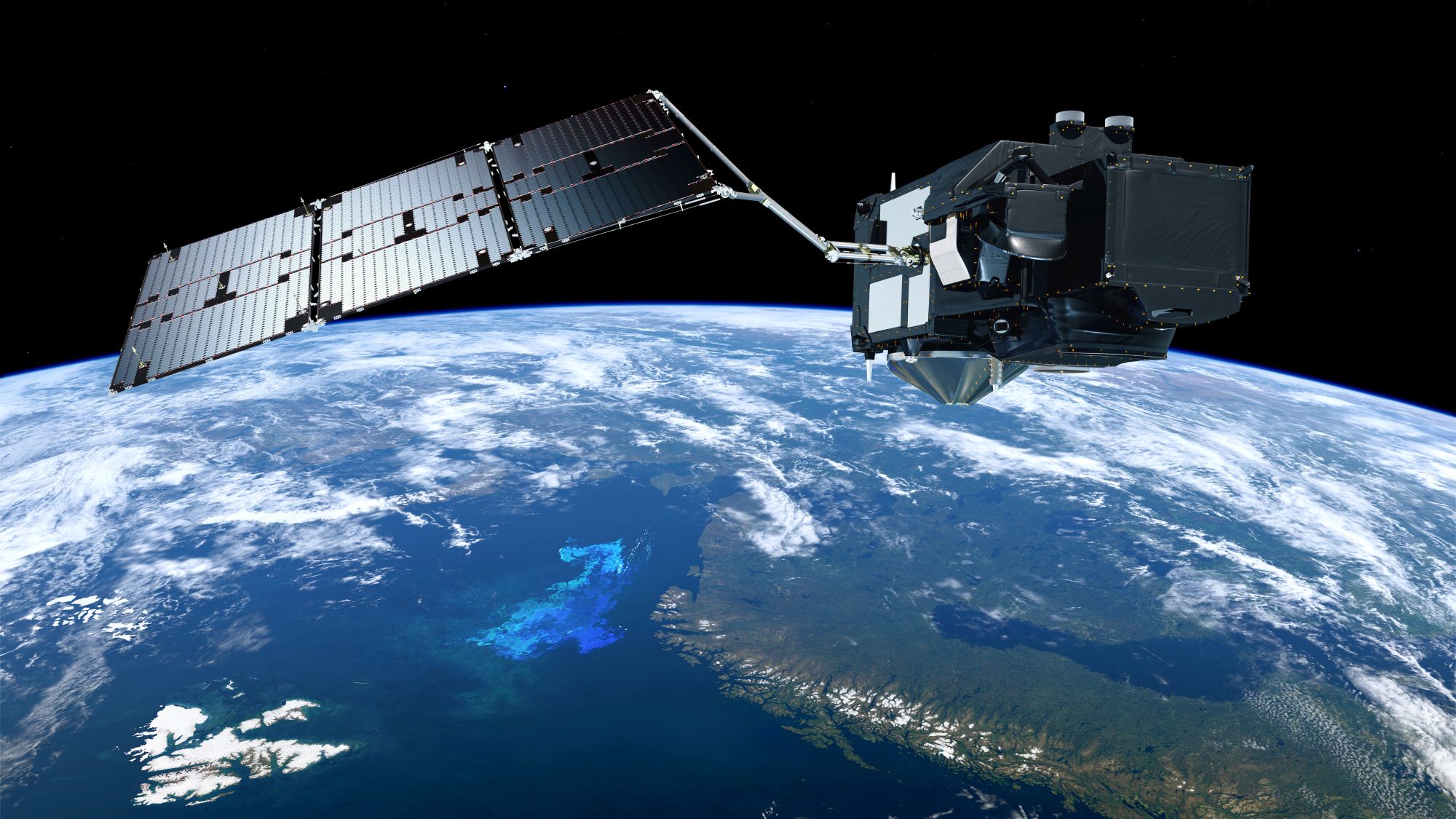
Artist Impression of Copernicus Sentinel-3C in orbit. Image credit: ESA/ATG medialab
Two European Space Agency (ESA) satellites, Sentinel-3C and FLEX, are currently scheduled to be launched on the 15th September via the Vega-C rocket from the European Spaceport in French Guiana.
The two Earth Observation (EO) satellites will work together in a sun-synchronous orbit at an altitude of 810 kilometres, offering an integrated package of near-simultaneous measurements to gain new insights into the global vegetation function and status.
Sentinel-3C
Sentinel-3C is part of the Copernicus EO Programme of the European Union and carries several instruments to measure the planet’s oceans, land, ice and atmosphere to monitor and understand large-scale global dynamics, providing near-real-time data for ocean and weather forecasting.
Its four main instruments are:
- Ocean and Land Colour Instrument (OLCI): This is a moderate resolution imaging spectrometer. It offers 21 spectral bands, with a spatial resolution of 300 metres and a swath width of 1270 kilometres, providing global coverage every two days. It will measure ocean and land surface colour, alongside vegetation and water quality monitoring.
- Sea and Land Surface Temperature Radiometer (SLSTR): An imaging radiometer that offers both visible and infrared imaging to measure land and sea surface temperatures. It has 11 spectral bands, and offers 500 metre spatial resolution for the visible, near infrared and short-wave infrared bands; while the medium wave infrared and thermal infrared bands have a spatial resolution of 1 kilometre. The global coverage ranges from 1 to 4 days depending on spectral bands.
- Synthetic Aperture Radar Altimeter (SRAL): A radar altimeter that measures ocean and ice topography, surface height of oceans and inland waters, together with wind speed on the sea surface. It operates on both C-band and Ku-band and offers a spatial resolution between 300 metres and 20 kilometres, depending on the mode selected.
- Microwave Radiometer (MWR): This supports the SRAL instrument by measuring atmospheric column water vapour corrections. It offers 20-kilometre spatial resolution and global coverage every 10 days to a month, depending on the average spacing required between measurements.
Once fully operational, Sentinel-3C will take over from Sentinel-3A, which has been in orbit for over a decade, and it is anticipated that 3A will finish its mission in 2027. Sentinel-3D is expected to be launched during 2028 to take over from Sentinel-3B.
FLEX
The FLEX, or FLuorescence EXplorer to give it its full name, is a single-instrument mission.
It carries a FLuORescence Imaging Spectrometer (FLORIS) operating with multiple spectral bands in both the visible and near infrared spectrum. It has a 300 metre spatial resolution with a swath width of 150 kilometres.
The instrument will detect the faint fluorescence plants emit as they absorb sunlight during photosynthesis. Although invisible to the human eye, measuring the solar-induced chlorophyll fluorescence directly helps monitor the photosynthetic efficiency of the terrestrial vegetation layer, as the fluorescence glow varies with plant health, plant stress and environmental conditions.
Summary
The launch of the next Sentinel-3 mission is great news, as it will enable the continuation of this dataset, which, as we often write about, is critical for long-term science, research and understanding of the environment. However, adding the FLEX mission could offer new insights into global terrestrial and water life cycles.
