

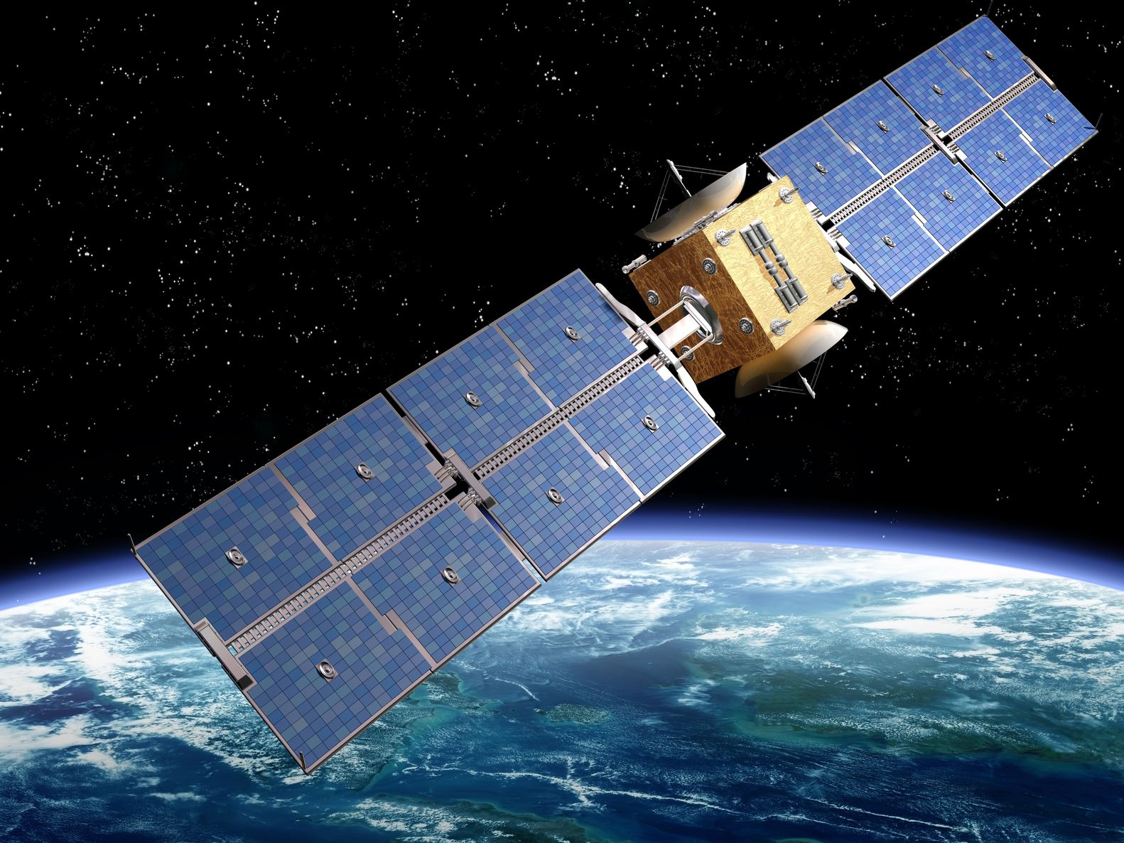
Artist’s rendition of a satellite – paulfleet/123RF Stock Photo
Last week saw the launch of seven new Earth Observation (EO) satellites, the remote repair of an EO satellite in space and the potential establishment of the world’s highest weather station.
China
Starting with launches, the China National Space Administration had two successful launches of commercial satellites within 24 hours.
29 April Earth Observation Launch
On Friday a pair of optical remote sensing satellites, Siwei 01 and 02, were launched from the Jiuquan Satellite Launch Centre by the Long March 2C rocket. The satellites, also known as Superview Neo-1 01 and 02, were put into sun-synchronous orbits at an altitude of 486 km.
The pair will offer commercial imagery at a spatial resolution of 0.5 m for applications such as surveying and mapping, environmental protection, as well as urban security, and digital rural development.
Developed by the China Academy of Space Technology the satellites will be operated by the China Siwei Surveying and Mapping Technology Company Ltd, which already has two pairs of satellites in orbit that were previously launched on the 28th December 2016 and 9th January 2018 respectively.
30 April Earth Observation Launch
The following day five commercial satellites were launched from an ocean-based platform in the East China Sea by the Long March-11 rocket. This mission, nicknamed ‘one arrow and five stars’, was the furthest offshore lift-off to date by China and was undertaken for the Changguang Satellite Technology company. Aboard were:
- Four Jilin-1 Gaofen (High Resolution)-03D satellites, numbered 04 to 07, offering optical imagery with a spatial resolution of 0.75 m.
- One Jilin-1 Gaofen-04A optical satellite which is a prototype. It will have a spatial resolution below 0.5 m with a swath width of 15 km operating on push-broom approach. The satellite has on-board artificial intelligence to support its autonomous mission planning and real-time data transmission to improve the speed of information availability.
These satellites have gone into sun-synchronous orbits of approximately 535 km and will join an existing constellation of more than 30 satellites. The data is used for applications such as land resource surveying, urban planning, and disaster monitoring. Ultimately, it is intended that this will be largest commercial EO constellation China with 138 satellites by 2025, at which time it’s intended to offer round-the-clock, all-weather, and full-spectrum data acquisition providing high temporal and spatial resolution.
Vietnam
In an encouraging story of space repair, the Vietnam Academy of Science and Technology confirmed this week that had successfully restored the VNREDSat-1 satellite following problems at the end of 2021.
VNREDSat-1 (Vietnam Natural Resources, Environment and Disaster Monitoring Satellite) was launched on the 7th May 2013. It has a multi-spectral optical imager offering 10 m data in multi-spectral mode and 2.5 m in panchromatic mode, both with a 17.5 km swath. It is Vietnam’s first EO satellite and its data is used to monitor the effects of climate change, natural disaster prevention and response, and managing natural resources.
Its original mission life was 5 years, but it continued until serious issues arose last year causing data collection to be ceased on the 9th November 2021. However, over the last few months Vietnamese scientists have successfully remotely repaired the satellite and data collection was restarted from 4th April with 280 images already taken. These are currently being quality assessed and it is hoped to resume normal activities soon.
World’s Highest Weather Station
Chinese scientists are trying to set up a weather station at an altitude of 8,800 metres on Mount Qomolangma (Mount Everest). The team are waiting for the best conditions to carry the equipment up, and, if successful, this will beat the previous highest such station which is at 8,430 metres on the same mountain.
This will be the last of eight weather stations the team will have set up on Mount Qomolangma, following stations at 8,300 m, 7,790m, 7,028 m, 6,500m, 5,800m, 5,400m and 5,200m. The team hope to determine how the Qinghai-Tibet Plateau is coping with the global warming. Existing data from remote sensing satellites and weather stations below 5,000m have indicated that the higher altitudes are warming faster than lower altitudes.
The stations will collect the wind speed, wind direction & relative humidity, and the aim is also to establish glacier radar to measure the thickness of snow and ice at the summit.
Interesting to see the increasing commercial sector developing in China, and wonderful to see satellites being brought back to life!
