

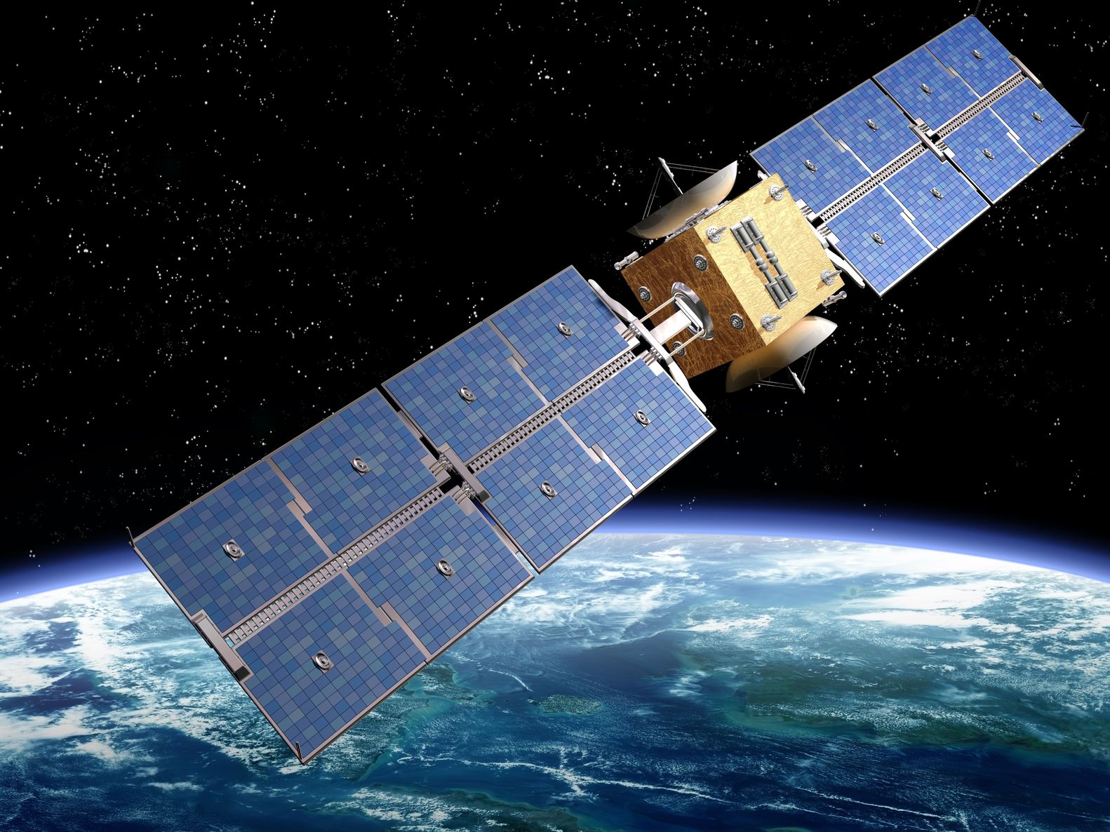
Artist’s rendition of a satellite – paulfleet/123RF Stock Photo
I spent last week in London immersed in all things geospatial, attending both GEO Business and the Open Geospatial Consortium (OGC) UK & Ireland Forum.
GEO Business 2024 was held at the ExCeL London exhibition centre on the 4th and 5th June, with an estimated 4,000 people in attendance. I was staying in central London and so had my first trip on the Elizabeth underground line, this is London’s newest underground line which fully opened in 2022. It was a speedy fifteen minute trip across the capital to the ExCeL. GEO Business was taking place in the same hall as Digital Construction Week, which was a valuable overlap for me and made it possible to visits their stands as well.
GEo Business
My first day began with the ‘Demystifying Satellite Climate Data Services‘ session which I listened to and caught up with other people in the audience. These educational sessions run from stages around the exhibition venue, and you could pick up headphones if you wanted to block out the background noise. After the session I did my first tour of the stands, and got to talk to the exhibitors and hear about interesting and exciting developments in various geospatial sectors.
After a while I felt I needed to rest my feet so began scouting for further sessions to listen to. On the drone & UAV stage, there was a talk on mapping seagrass which is something I’m also currently working on as part of the SwedCoast-BlueCarb project, where we’re working on a joint project through the UK Space Agency and the Swedish Space Agency.
Interestingly, the presentation talked about using Sentinel-2 data alongside the UAV data, but they dismissed it as not being very useful due to the spatial resolution. They were mapping a relatively small shallow area and using indices calculable from the visible red, green, and blue, plus the near-infrared band, rather than the full spectral capabilities of Sentinel-2. It gave me an idea of something to look into!
On day 2, I was in the audience for ‘The Importance of Geospatial to Decision Makers’ session, chaired by Dr Vanessa Lawrence CB. It was an interesting discussion focusing on how to integrate geospatial data with other information, to gain understanding and make decisions, for example, when and where to build retirement homes in the UK. Insights gained within the property market are that people want to move to a retirement home close to where they already live and have some funds left over once they move, influencing demand for such properties.
