

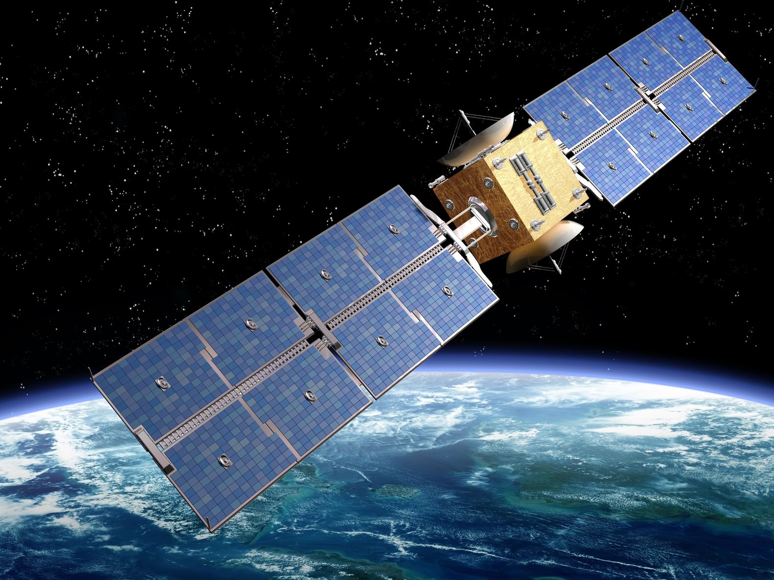
Artist’s rendition of a satellite – paulfleet/123RF Stock Photo
Within the last week, China has launched new satellites for both its High-resolution Earth Observation System (CHEOS) and Beidou, the Chinese global Navigation Satellite System constellation. Both of which have been many years in development.
Last Wednesday, 17th June, the Gaofen 9-03 Earth Observation (EO) satellite was launched from the Jiuquan Satellite Launch Centre, in northwest China, aboard the Long March 2D rocket; two other small satellites were also part of this launch:
- Pixing-3A – conducts orbital tests on picosatellite and nanosatellite technologies.
- HEDE-5 – an Automated Identification System services satellite for a private company.
Gaofen 9-03 is the third in this series, following Gaofen 9 launch five years ago and Gaofen 9-02 at the end of last month. All three are reported to be carrying the same optical imager with a spatial resolution of 2 m for multispectral imagery and 0.5 m for panchromatic. The data from this satellite, and the other two of this triptych, are reported as being used for land surveying, urban planning, transportation, agriculture and disaster prevention applications.
CHEOS was an ambitious ten-year programme that began in 2010 to provide China with all-weather, 24-hour global EO capabilities. Despite a couple of launch issues, the programme has succeeded with almost twenty satellites in the system providing both optical, infra-red and microwave. The system was due for completion this year.
On Tuesday, 23rd June, it was also reported that China launched the final Beidou satellite to complete its Navigation Satellite System to rival the American GPS, Russian GLONASS and European Galileo systems. This final satellite, the fifty-fifth in the series, was launched from Xichang Satellite Launch Centre in southwest China aboard Long March-3B. China began developing Beidou, which means Big Dipper in Chinese, almost thirty years ago. The current version of the network, known as BD3, has thirty operational satellites providing navigation data.
Moving away from the constellations China is completing, to something new in Europe. On Friday, 26th June, the first artificial intelligence to be carried onboard a European EO mission will be launched from Europe’s spaceport in Kourou, French Guiana.
The satellite named ɸ-sat-1, pronounced PhiSat-1, is essentially two CubeSats that collects data in the visible and near-infrared wavebands with hyperspectral capabilities plus enhanced bands in the thermal infrared, from its Hyperscout-2 instrument.
The clever part of the satellite is that although it will collect a huge number of images, some of these will not be useful due to cloud cover. The artificial intelligence chip will filter out the images considered less useful so that only useable images are transmitted back to Earth. Anyone who has spent time looking at, or even downloading, satellite images will know what a huge benefit this would be!
ɸ-sat-1 is an enhancement of the Federated Satellite Systems mission (FSSCat) which won the 2017 Copernicus Masters competition. It was proposed by Spain’s Universitat Politècnica de Catalunya and developed by a consortium of European companies and institutes.
Interestingly, for us, is the mission will be looking at monitoring changes in vegetation and water quality, detecting urban heat islands and examining the role of evapotranspiration in climate change. The data from this mission will be available through the Copernicus Land and Marine Environment Services.
It just shows that in EO, whenever one plan is completed there is always the next idea coming along to take the industry further.
