

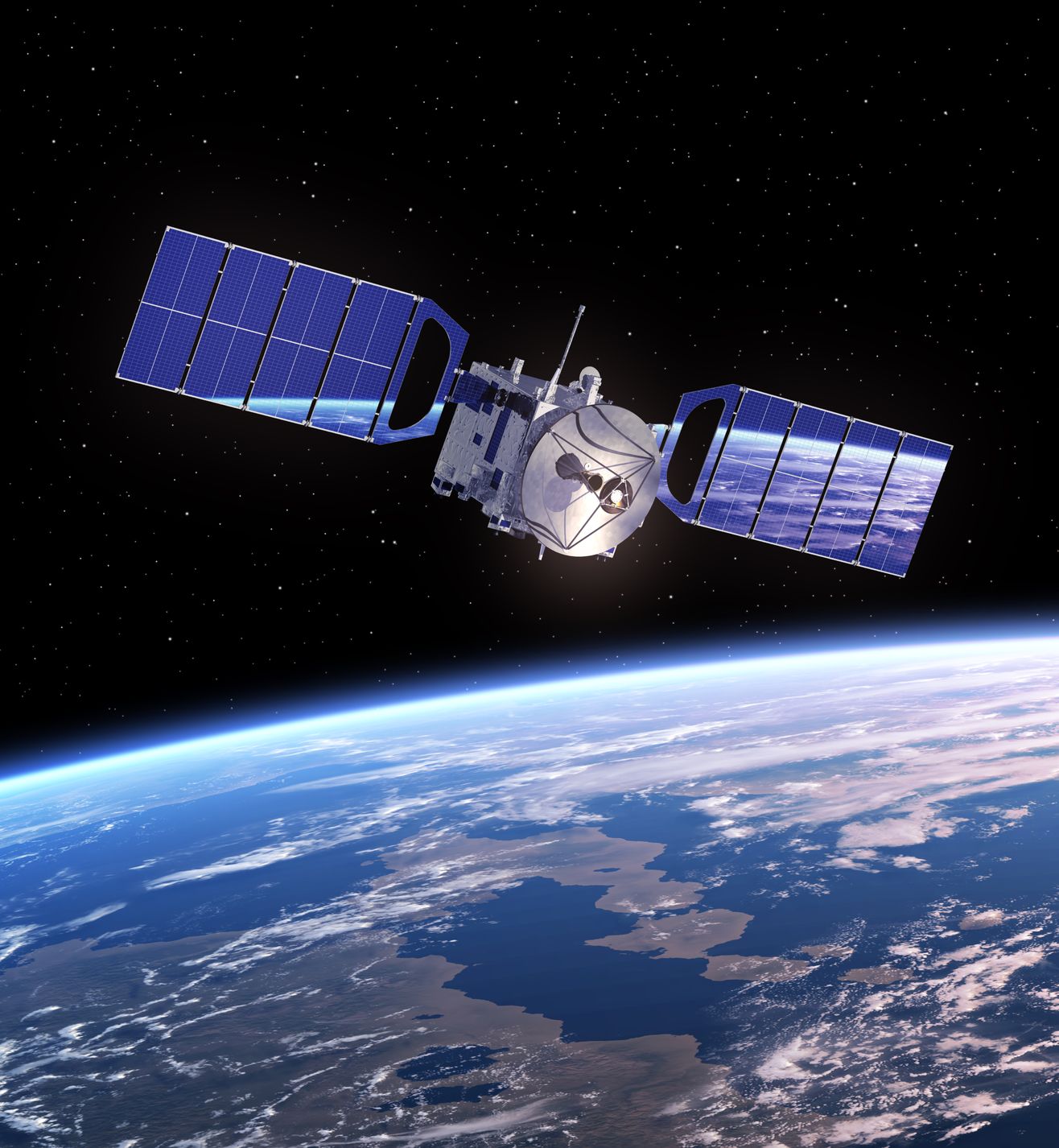
Artist’s rendition of a satellite – mechanik/123RF Stock Photo
As we suggested a couple of weeks ago the first Earth Observation (EO) satellite launches of the year were completed by China on the 15th January when the Long March 2D rocket took four satellites into orbit from the Taiyuan Satellite Launch Centre.
The main payload was the next satellite for the Jilin-1 constellation Kuanfu-1, apparently also known as the Red Flag-1 H9, which will sit in a 535 km orbit. It has an imager with a multi-spectral spatial resolution of around 3 m. It has a very wide swath of over 40 km. The commercial data from the constellation will be used to explore natural resources and help forecast and mitigate geological disasters.
There was a second smaller Chinese satellite onboard, Tianqi-5, which is reported as a commercial internet of things communication satellite, with a camera for educational purposes. It is part of the slightly disconcertingly named ‘Apocalypse Constellation’ and supports the provision of network coverage in known blackspots.
Also, as we previously reported, there were two Argentinean identical satellites, NuSat 7 and NuSat 8, onboard. These are owned by Satellogic who are building their own low Earth constellation, known as Aleph-1, which is now ten satellites strong. The satellites are in a 500 km sun-synchronous orbit, and they have a multispectral imager with a 1 m spatial resolution and a hyperspectral camera with 30 m spatial resolution. The data acquired will help with the management of forests and agricultural, alongside supporting both the energy and insurance industries.
They have plans to launch another 14 satellites this year and hope to have around 90 satellites in place by the end of next year which will enable the imaging of the whole planet in less than a week. The ultimate aim is to provide near-real-time images from a constellation of 300 satellites.
Interestingly, these latest satellites are also known as Sophie and Marie; named after the French mathematician and physicist Sophie Germain and the Polish-French physicist Marie Curie. This isn’t the first time Satellogic have adopted this approach as in 2018 they launched Ada and Maryam into orbit, named after mathematicians Ada Lovelace from the UK and Iranian Maryam Mirzakani.
The new images come from the Indian Space Research Organisation (ISRO) who released the first images from the CartoSat-3 which was launched on the 27th November 2019 – a previous blog has more details on the satellite and its instruments. These images were acquired on the 28th of December 2019 and show various scenes from Qatar, which can be seen here. There are four images in total:
- A colour image of the Khalifa stadium on Doha
- Black and whites images of the old Doha Airport, Palm City area and the Dalla Driving Academy area.
ISRO noted that although the images have been released, the satellite was still undergoing calibration and validation and it expects to further improve the quality of the images.
New satellites are owned by the Iranian Space Agency as over the weekend they took delivery of two satellites developed by the Iran University of Science and Technology, Zafar1 and Zafar2. The satellites are equipped with colour imagers and expected to go into a low Earth orbit. Zafar1 is expected to be launched first within the next three months. According to the Financial Tribune, Zafar1 has a spatial resolution of 25 m while that of Zafar2 is 16 m.
The New Year is only a few weeks old, but already things are happening in EO!

great post thank you for sharing this information with us