

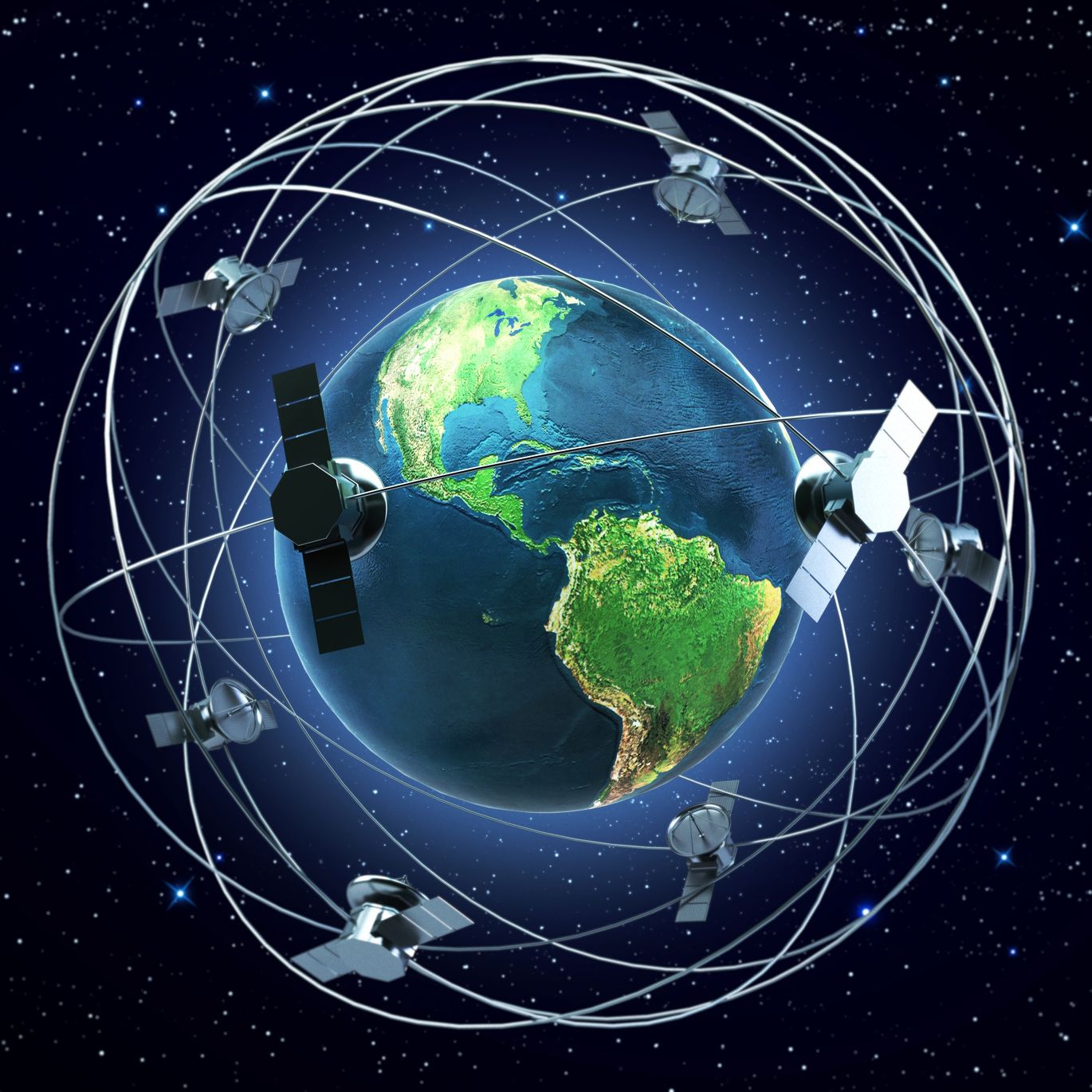
Artist’s rendition of satellites orbiting the Earth – rottenman/123RF Stock Photo
I came across a sobering article this week in The Conversation written by Wallace Boone Law on the challenges of using satellite data during the recent Australian Bush fires. This article sums up the difficulties our industry has, and why we still have a long way to go to get satellite data used regularly by the general population.
Everyone working in the satellite industry should read. You can find the article here.
Wallace, who is currently studying for PhD in remote sensing in the Spatial Sciences Group in the School of Biological Sciences at the University of Adelaide, wanted to use satellite data to produce burnt area maps to help himself, friends and neighbours monitor what was happening with the bushfires. With the sheer scale of both Australia and the bushfires, this seemed a perfect opportunity for satellite data, and burnt area maps are something well understood within the industry.
However, the practical reality was a bit different. Despite his skills and experience it took significant time to find the data, process it and produce the maps. Eventually, Wallace was able to produce burnt area maps from Sentinel and Landsat data and gave them out to friends and neighbours who found them useful to know where to focus their efforts to protect land and property. Later some versions were released on Twitter, which led to them being used for ecological recovery efforts, and he was even contacted by Government Agencies who wanted to use the information to assess damage and habitat loss.
A snappy sound bite mid-article really caught my attention, and I am not sure if was Wallace or The Conversation copywriters who wrote it, but it was ‘Free satellite imagery is abundant; useful information is not.’
Only nine words, but nine words we need to take heed of. With CubeSats the number of satellites has increased massively and in turn, the amount of satellite data has increased exponentially. There is a lot of talk about revisit times and how frequently every part of the Earth is imaged. However, if this data is not turned into useful, actionable information in a timely fashion, then our industry is simply recording history, rather than changing it.
This week parts of the UK have suffered from some horrendous flooding, and the potential is there again for satellites to produce useful information. On the BBC’s Andrew Marr show on Sunday morning, it was quoted that the UK Government’s Committee on Climate Change had reported that there is no national map that can be used for planning that shows projected future flood risk. It seems odd that our industry isn’t more proactive about the aspects that can provide benefits.
Of course, we’d acknowledge, that providing real-time flood information is very difficult as rapid flooding and retreat is not easily captured by satellites, such as Copernicus, with a five day revisit time; and secondly, a lot of this flooding took place overnight which would only be visible to SAR.
The general public does not have the time to mess about with all the convoluted steps we have to go through to produce imagery, never mind the obvious skill gap, however, we can provide information in a much better way.
The industry needs to do three things if satellite data is going to be used widely:
- Firstly, we improve the way we present satellite data so we present useful data that people can understand, use and make decisions on – shapefiles, GeoTiffs or JSON files really don’t cut it.
- Secondly, we need to make this information available as quickly as possible, and certainly faster than a lot is currently on offer.
- Finally, we need to improve our communication of what information is available – it is telling from Wallace’s account that Government agencies contacted him for burnt area information. Let that sink in, Government agencies did not know where to get burnt area details from.
With the extreme weather events getting more frequent and more extreme, we need to wake up in the satellite industry and start getting our information out there to help people, otherwise, we are failing the world, the people suffering and ourselves.
