

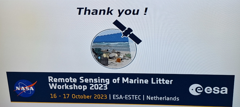
 Last week, I was in the Netherlands at the International Remote Sensing for Marine Litter Workshop, which was organised by the European Space Agency (ESA) and the National Aeronautics and Space Administration (NASA). The two-day event occurred at the European Space Research and Technology Centre (ESTEC) in Noordwijk.
The theme of the event was ‘Today’s Possibilities, Tomorrow’s Innovation: State of the art, challenges and future directions’, and it included reports from a set of European projects funded by ESA through the Open Space Innovation Platform, which kicked off in 2020, together with NASA-funded activities reported by US colleagues. The full list of the ESA-funded projects can be found here.
I was at the event as Pixalytics was a partner in one of these ESA-funded projects, MARLISAT, which was focused on tracking marine plastic litter using a combination of in-situ and satellite data together with an oceanographic computer model. This project was led by the French organisation CLS, Collecte Localization Satellites, and Pixalytics’ role was the Earth Observation part of the project. More details on the project can be found in a previous blog, and I also had a poster displayed during the workshop.
Marine Litter Workshop
The workshop aimed to highlight the most recent advances in the field, identify the most relevant next steps, and allow participants to interact and network, and there were presentations on various techniques and foci, including microscopic and larger floating litter. The techniques included varying platforms (including satellites, drones and boats) and techniques such as passive optical, lidar, Synthetic Aperture Radar (SAR), thermal, and reflected satellite positioning signals (termed GNSS reflectometry).
All these techniques aim to directly detect the plastic and direct co-present signals such as fronts, water hyacinths, windrows, and surface slicks. However, it remains clear that no single technique, nor remote sensing alone, can give the complete picture of marine litter from source to transport to sink. Therefore, different technologies are needed to gain an insight into what is happening to encourage less plastic waste to be produced, plus track and collect what ends up in rivers and then the ocean.
The importance of this work is highlighted by the fact that in March 2022, the United Nations Environment Assembly adopted a historic resolution to develop a global plastics treaty. The assembly noted that plastic production has risen exponentially in the last decades and now amounts to some 400 million tons per year and is set to double within twenty years. Much of this plastic is making its way into the oceans, either as plastic debris or microplastics. The world needs a better understanding of what happens to this debris.
The second day had a set of breakout groups with in-depth discussions and recommendations on various topics, such as strategic & realistic detection techniques, a satellite mission designed to focus on plastics, intercomparison activities and linking to policymakers. The outcomes and recommendations of the workshop are being considered by the space agencies, with the support of the International Ocean Colour Coordinating Group (IOCCG) Task Force on the Remote Sensing of Marine Litter and Debris.
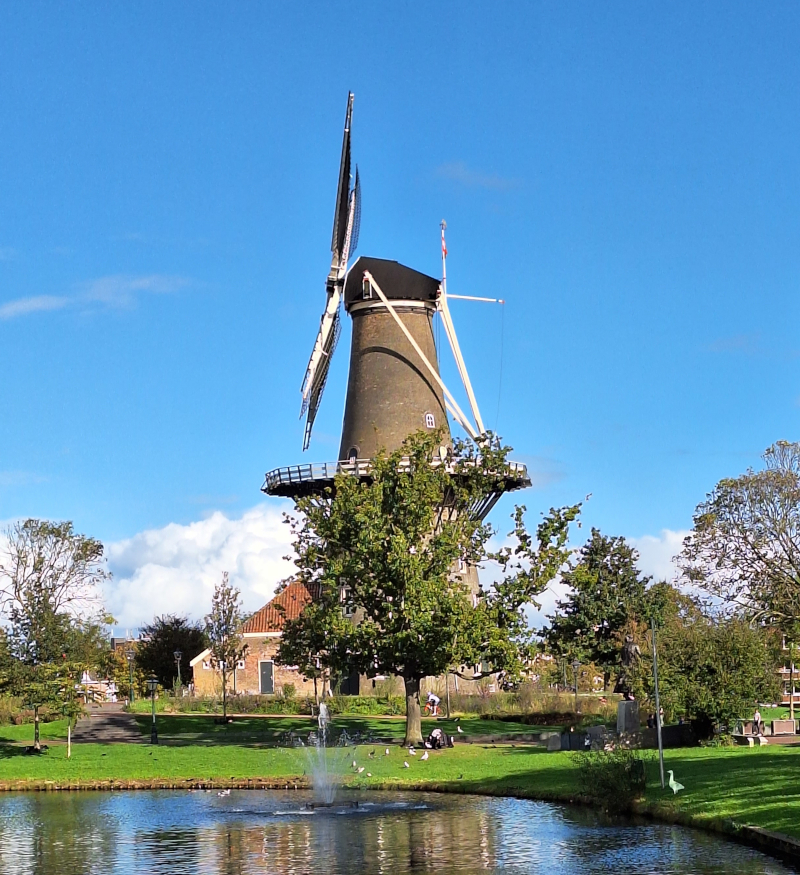
Windmill at Leiden, Netherlands
I stayed in Leiden for the first time, a town just over 10 km from ESTEC. It had a convenient bus route to the venue and was a beautiful place, as you can see from the windmill. This is definitely somewhere I will look to come back to in the future.
Summary
Everyone at the workshop was enthusiastic about the topic. Still, there is a need to be more explicit about what is, and isn’t, currently possible from remote sensing alongside exploring new approaches. We are also working on this topic, and have investigated several aspects of the issue by having a bespoke machine learning solution that aims to detect marine and terrestrial plastic waste. It is something we are passionate about and excited to work on as opportunities arise. If you think we could work together, get in touch!
