

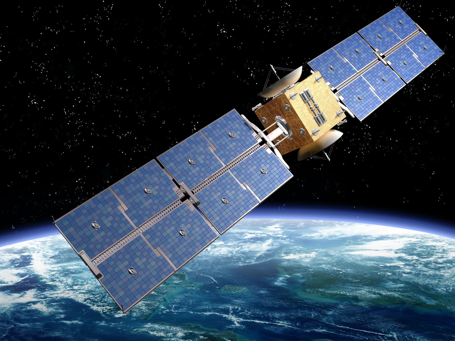
Artist’s rendition of a satellite – paulfleet/123RF Stock Photo
Looking at the launches of a chatbot, Russian and Chinese Earth Observation (EO) satellites that have been announced, and occurred over the last week.
Chatbot Launch
Artificial Intelligence (AI) has been part of the EO sector for years through the concept of Machine Learning (ML) and, as regular readers will know, Pixalytics is active in this field. Last week, we wrote about the presentation Dr Samantha Lavender gave on the Training Data Markup Language for AI to support the reuse of geospatial ML training datasets at the Open Geospatial Consortium Member Meeting.
Also last week, the European Space Agency (ESA) announced it is going to develop a ChatGPT-style digital assistant to support people working with EO data. They are intending to train a chatbot to answer human-like questions about the planet and EO data through ESA’s Φ-lab (Phi-Lab). The training will begin in April, and will focus on naturalistic language capabilities both in terms of the questions and responses. As noted in the first paragraph, training data is the going to be key to making the chatbot useful and responsive, and the Φ-lab has several ongoing initiatives that might be able to support this work. For example, PhilEO is an evaluation framework based on Sentinel-2 data, expected to be released to the EO community to create a collaborative approach to the validation of the work.
However, it is no secret that EO data isn’t straightforward to use and we’ve got plenty of experience of online websites where workflows fall over because something they weren’t expecting occurred; such as changes in file formats, data only being available in minimum sizes, or the file source being removed without a replacements.
Chatbots are becoming more and more common in many industries and interactions, and it is precisely the benefits AI offers in ML, in terms of managing and processing large datasets, as to why it could also provide benefits in this area of EO. It will be interesting to see how this chatbot develops, and how it deals with the rapidly changing environment of the EO data sector.
Russian Satellite Launch
The Russian space agency, Roscosmos, launched the EO satellite Resurs-P No.4 on the 31st March on a Soyuz 2.1b rocket from the Baikonur Cosmodrome in Kazakhstan. The satellite was put into a sun-synchronous orbit at an altitude of 477 kilometres, and is a successor, and replacement, to the Resurs-P 1, -2, and -3 satellites. The satellite is believed to be carrying four instruments:
- Geoton-L1- a radiometer with 6 bands in the visible and near infra-red, including one panchromatic band. It offers images at 1 metre spatial resolution in panchromatic mode, and 4 metres in multispectral mode, with a 38 kilometre swath.
- GSA is a hyperspectral imager with 216 bands. It offers a spatial resolution of 25 meters, with a swath width of 30 kilometres.
- ShMSA-SR is a medium resolution wide capture multispectral optical imager, with 6 bands in the visible and near infra-red, including one panchromatic band. Spatial resolution is 60 metres in panchromatic mode, and 120 metres in multispectral mode, with a swath of 442 kilometres.
- ShMSA-VR is a high resolution wide capture multispectral optical imager, also with 6 bands in the visible and near infra-red, including one panchromatic band. It offers a spatial resolution of 12 metres in panchromatic mode, and 24 metres in multispectral mode, with a 97 kilometre swath.
The data is expected to be used by commercial customers, alongside Russia’s Ministries of Agriculture and Fishing, Meteorology, Transportation, Emergencies, Natural Resources and Defence. A second satellite, Resurs-P No.5, is expected to be launched next year.
Chinese Satellite Launch
China also launched an EO satellite last week, with the Yunhai-3 (02) satellite was launched on the 26th March by the Long March 6A from Taiyuan Satellite Launch Center. There is limited information about the payload satellite, but it is reported to be a military meteorological satellite.
The China Aerospace Science and Technology Corp. (CASC) later confirmed launch success, and have described Yunhai-3 (02) as offering data for applications such as atmospheric and marine environment surveys, space environment monitoring, disaster prevention and reduction and scientific experiments.
Summary
New satellite launches and AI developments show that the EO sector is always moving forward, and those who work in the industry must also look at new ideas and technologies and work out how to leverage them, so that we can also keep moving forward.
