

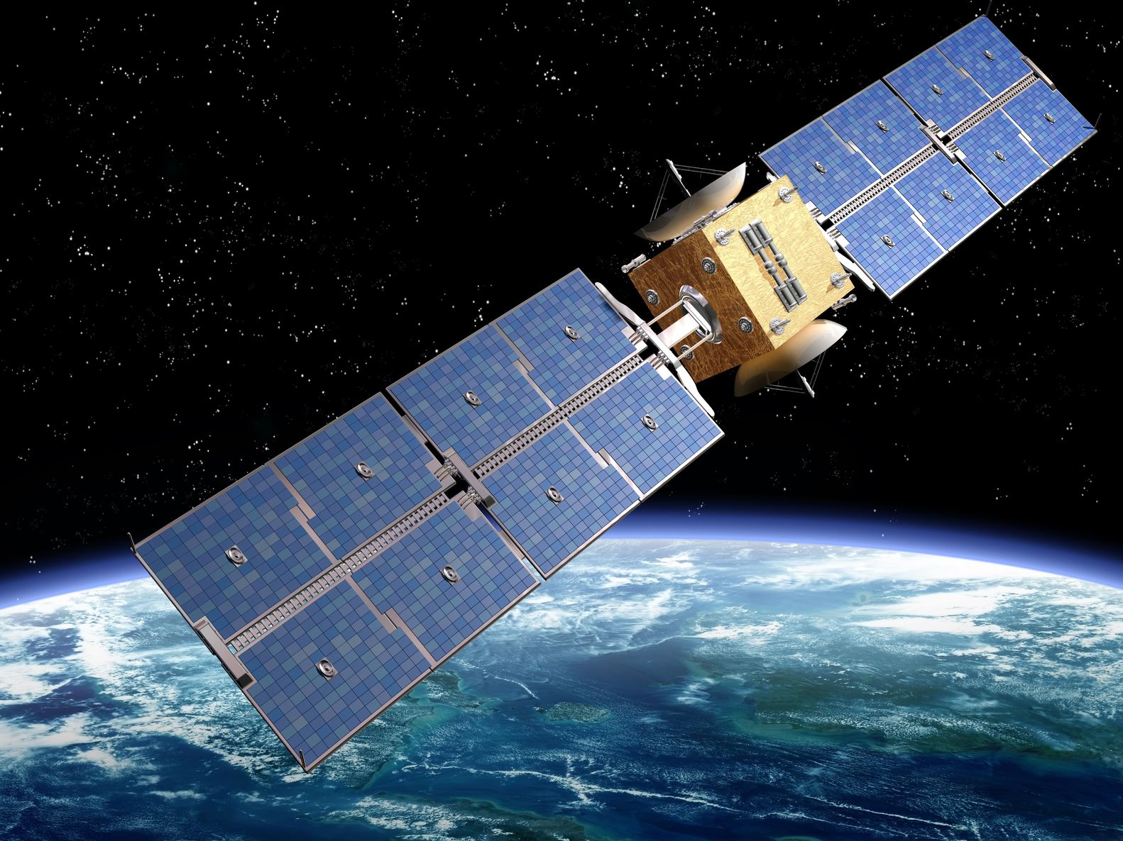
Artist’s rendition of a satellite – paulfleet/123RF Stock Photo
This week we’re offering you a fantastic opportunity to get involved with Earth Observation (EO) from your own home, through an exciting citizen project to classify clouds on satellite images, together with less positive news on potential EO budget cuts in the United States.
Citizen Science Cloud Spotting
We’ll start with the exciting new project, which is offering anyone the opportunity to become a citizen scientist supporting EO. The project, called CloudCatcher, was developed at the Science and Technology Facilities Council’s (STFC) RAL Space, and is inviting the public to help validate cloud detection tools used in satellite imagery.
The project builds on an earlier 2020 prototype project, where over 1,600 people identified clouds in imagery with an accuracy of 94% over the ocean and 90% over land. The results also helped reveal classification errors in satellite cloud masks and were published in the January 2025 edition of the Royal Meteorological Society’s journal Weather.
The new CloudCatcher project hopes to get many more members of the public involved, and can be found here on the Zooniverse website. Participants are shown four different versions of the same satellite image, with:
- Two Natural Colour images – as you would see it with your own eyes – showing the whole image and the zoomed in version you are being asked to classify; and
- Two False Colour images – making it easier to see clouds as they will appear in different colours other than white.
Participants are first asked to identify whether interesting features are visible the zoomed images such as mountains, lakes, rivers, coastline, ice, snow or nothing, and then the second question asks whether there are any clouds visible, which is a simple yes or no. If you answer, ‘Yes there is cloud’, participants are asked to say whether the cloud is visible in the natural colour image, the false colour image, or both. It’s that simple, and tutorials are given to provide training. Anyone can do this, and it is great way to get involved with satellite imagery and EO.
The satellite images used in CloudCatcher are taken from the Sea and Land Surface Temperature Radiometer (SLSTR) instrument onboard Copernicus Sentinel-3 satellite. Identifying clouds is important in EO as for many parts of the world clouds are a common occurrence – in the UK clouds there are lots of clouds! When an optical satellite takes an image, it is essentially taking a picture from space, and so if there are clouds, they obscure what is below on the Earth’s surface. Therefore, scientists often use cloud masks to identify and remove the clouds when processing data to ensure they get accurate data about the planet that is not skewed by including clouds.
It’s great fun, and so, why not start spotting clouds yourself?
Potential US Earth Observation Cuts
Earlier this month, a letter sent by President’s Trump Office of Management and Budget described the President’s recommendations on discretionary funding levels for the 2026 fiscal year. While these aren’t yet confirmed and may change as the proposals go through the administrative processes, they do provide an insight into the President’s thinking. In terms of EO, a few cuts are worth noting – below are extracts from the letter:
- NASA
- Earth Science: A US$ 1,161 million cut: The Budget eliminates funding for low-priority climate monitoring satellites and restructures the gold-plated, two-billion-dollar Landsat Next mission while NASA studies more affordable ways to maintain the continuity of Landsat imagery, which is used by natural resource managers, States, and industry.
- S. Geological Survey (USGS)
- Surveys, Investigations, and Research programs: A US$ 564 million cut. The Budget eliminates programs that provide grants to universities, duplicate other Federal research programs and focus on social agendas (e.g., climate change) to instead focus on achieving dominance in energy and critical minerals.
- National Oceanic and Atmospheric Administration (NOAA)
- Procurement of Weather of Satellites and Infrastructure: A US$ 209 million cut. The Budget rescopes NOAA’s Geostationary and Extended Observations satellite program to achieve nearly $8 billion in lifecycle cost savings and cancels contracts for instruments designed primarily for unnecessary climate measurements rather than weather observations.
- Operations, Research, and Grants: A US$ 1,311 million cut. The Budget terminates a variety of climate-dominated research, data, and grant programs, which are not aligned with Administration policy-ending “Green New Deal” initiatives. For example, NOAA’s educational grant programs have consistently funded efforts to radicalize students against markets and spread environmental alarm.
While it is not surprising to see cuts to various aspects of climate change research, and it would appear several planned satellites will be cut. The comment on Landsat is also interesting as Landsat was, notably, one of the few EO missions that was supported by the last Trump Administration. While the overall cut represents around half of NASA’s EO budget, the reference to ‘gold plated’ and the users, seems to indicate that while there may be changes in funding, it will still be supported. This is good news for this fifty-year old dataset.
It should be noted that these cuts are the President’s discretionary funding and are separate from the work of Elon Musk’s Department of Government Efficiency (DOGE) that has also been looking to cut federal funding. Therefore, the full impact on EO in the coming years is still not clear.
Conclusion
This blog shows the microcosm currently encompassing the EO sector. There are exciting new opportunities appearing, but there are also clouds on the horizon which makes people nervous. One thing is for sure, it’s never boring and mundane in this sector!
