

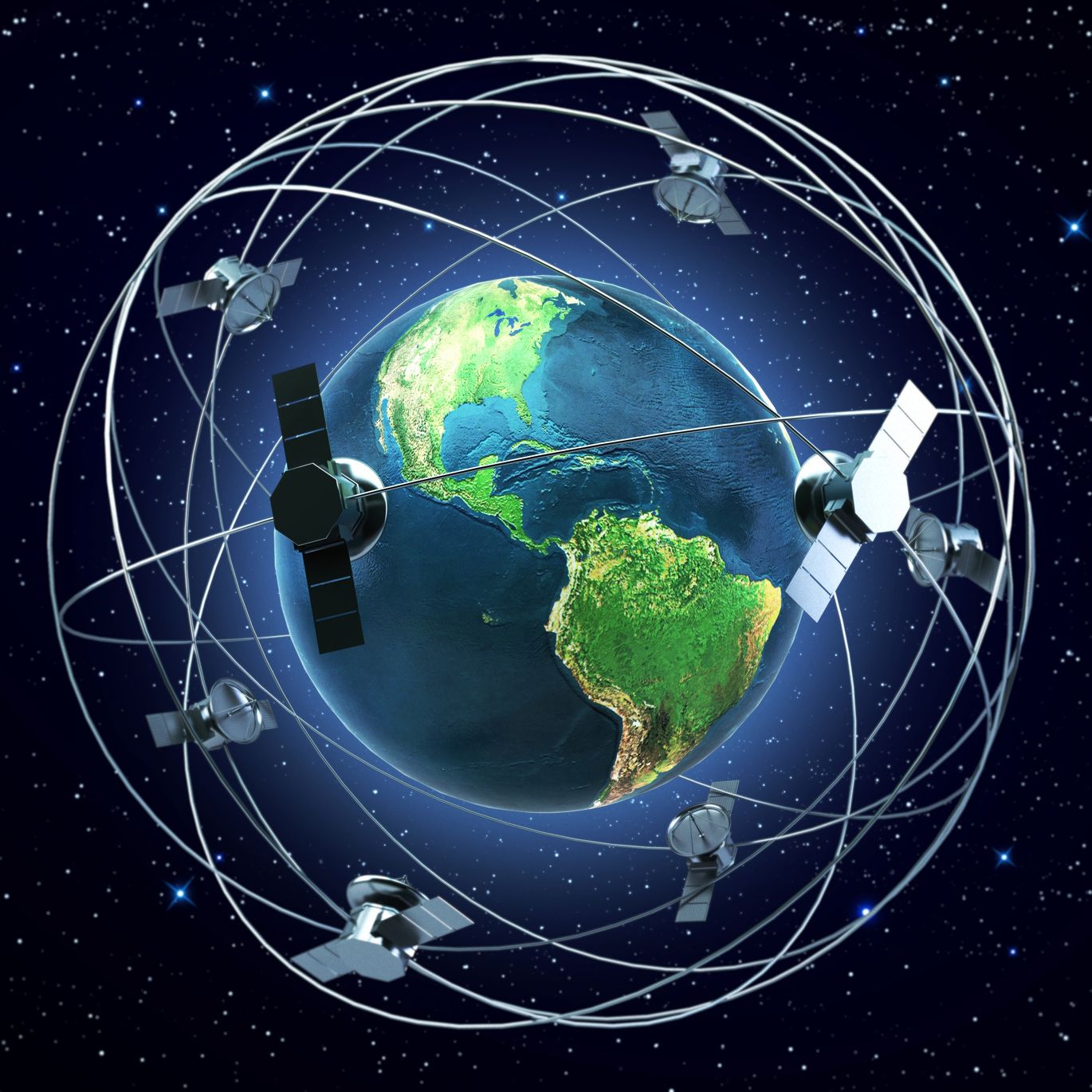
Artist’s rendition of satellites orbiting the Earth – rottenman/123RF Stock Photo
Last week, on Earth Day, the European Space Agency (ESA) and IBM Research Europe launched the first version of TerraMind, a powerful next-generation artificial intelligence (AI) model, that aims to leverage the world’s satellite data to better understand the planet and how to combat the challenges we are facing.
The system is an open-source model, with the code shared in GitHub, and a pre-trained base and large version of TerraMind, both open-sourced on HuggingFace. It was trained using TerraMesh, the largest set of freely accessible geospatial data – over nine million globally distributed samples, covering eight different data types, including radar and optical data from Sentinel-1 and Sentinel-2 respectively. Researchers included data from all biomes, land use/land cover types, and regions, allowing the model to be equally applicable anywhere across the globe, with limited bias. TerraMind was developed within FAST-EO, an initiative led by a consortium comprising of the DLR, Forschungszentrum Jülich, IBM Research Europe and KP Labs, and was supported and funded by ESA Φ-lab.
Applying AI and machine learning (ML) to satellite data isn’t new, in fact Pixalytics has been using ML for many years as part of the products and services we produce. The key new development here is the is the multi-modal foundation model that underpins TerraMind; i.e., the training dataset combines several different satellite datasets of different types, together with other geospatial dataset.
This is critical for challenges such as climate change where there are many potential influencing factors, and the training data it received covered nine core modalities including observations made by sensors on satellites, the geomorphology of the Earth’s surface, surface characteristics that are important to life on Earth (vegetation and land use) and the basics of how to describe locations and features (latitude, longitude, and simple text descriptions).
Performing Well
It’s considered the most advanced EO model ever created, following benchmarking work by ESA using its PANGEA system. Comparing TerraMind with 12 other similar models, TerraMind outperformed the other models by at least 8% in all PANGEA tests. As a multimodal model, it also uses much less computing power – up to 10 times less than using separate models for each type of data – making it cheaper for users to scale and is better for the environment.
This means that TerraMind should be able to better understand what it is looking at on the planet. In addition, it has generative capabilities, meaning it can generate synthetic data when the input dataset has some gaps – using a technique called ‘Thinking-in-Modalities’, meaning that the system undertakes a series of logical reasoning steps to solve a problem and generate new data. It is a similar approach to that used by OpenAI’s GPT-4o and DeepSeek’s R1.
All geospatial models can be found on Hugging Face and on the IBM Geospatial Studio, and it is expected that more tailored versions of TerraMind for disaster response and additional use cases will be developed in the next month.
It is hoped that TerraMind will be able to unlock new understandings and contribute to new ideas and approaches to help deal with challenges such as disaster management, environmental monitoring, precision agriculture, urban planning, critical infrastructure monitoring, forest management, wildfires, flooding and biodiversity monitoring.
Summary
AI and ML models have been heralded as changing the landscape of EO and to-date there has been a lot of potential discussed, but operational examples have been less clear. It will be interesting to see how this new model will do, and being open source, it should allow researchers and companies a new opportunity to look at EO data. It’s certainly something we’ll be having a play with!
