

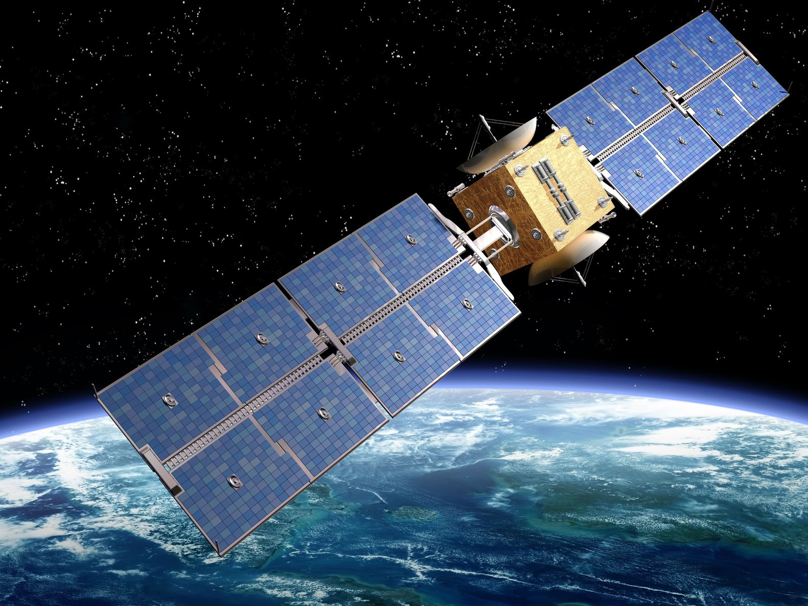
Artist’s rendition of a satellite – paulfleet/123RF Stock Photo
Two reports this week demonstrating the issues and importance of maintaining dataset continuity.
Firstly, the Canadian firm, MDA, announced at the beginning of February that they were making progress with the RadarSat-2 Continuity Mission. MDA, who own and operate Radarsat-2, are designing and building an updated version of the C-band Synthetic Aperture Radar (SAR) satellite.
This will continue a dataset which began in 1995 with the launch of RadarSat-1 and followed by RadarSat-2 in December 2007. Radarsat-2 was anticipated to have a mission life of seven years, which it has significantly exceeded. Whilst satellites regularly exceed their anticipated mission life the older they get the more fragile they become, with individual components having a greater potential to fail. This satellite series knows this only too well as Radarsat 1’s mission was ended by a technological anomaly in March 2013 after 17 years.
With Radarsat-2 already 13 years into its mission, the need for the next satellite to continue the dataset is fully understandable. However, they do have some protection as in June 2019 the Radarsat Constellation mission was launched. This is a trio of C-Band SAR satellites that allow daily revisits of the whole of Canada’s land and maritime areas, and ninety percent coverage of the globes’ land masses each day and the Arctic will have up to four visits each day. In high-resolution mode, these satellites will have a spatial resolution of 1.3 m, whilst in other modes, the resolution will be 25 m or 50 m. The main applications will be ice monitoring, oil pollution monitoring, ship detection and ecosystem monitoring.
This announcement by MDA shows they are continuing to look at the next phase of the Radarsat missions.
A slightly older dataset also was in the news this week, with the European Space Agency announcing that Sentinel-6 Michael Freilich has successfully completed its in-orbit verification phase which tests the satellite’s systems, equipment, and most importantly the performance of the instrument payload.
This is particularly important in the case of Sentinel-6 Michael Freilich as it is a follow-on to the JASON-3 mission. The aim is to continue the high precision sea-level height measurement dataset which was originally begun with the TOPEX/ Poseidon mission in 1992, and continued by JASON-1, JASON-2 and JASON-3.
These tests include cross-calibrating the data from the new digital altimeter onboard Sentinel-6 Michael Freilich with measurements from the Copernicus Sentinel-3 and Jason-3 missions; which are undertaken at ESA’s Permanent Facility for Altimetry Calibration in Crete, Greece, where the use of transponders are used to receive and re-transmit radar pulses back to the satellite in space to verify its performance.
ESA reported that the initial tests show that the altimeter significant wave height and range uncertainty are significantly better compared to the previous Sentinel-3 and Jason-3 missions. This cross-mission calibration mission is far from over though, as the new satellite must continue to fly 30 seconds behind Jason-3 for at least another 8 months. If tests continue to be successful, then it will take over from JASON-3 as the operational reference mission.
Finally, it’s impossible to talk about data continuity without referencing the daddy of them all, NASA’s Landsat missions which next year will celebrate the fiftieth-year of its optical dataset. Currently, there are two Landsat satellites in orbit, Landsat-7 and Landsat-8. However, Landsat-7 is already on borrowed time with it expected to reach the end of the mission in the middle of this year. The plan always was to have Landsat-9 in orbit when Landsat-7’s mission ended, however, the Covid pandemic has pushed the new launch back to September 2021 at the earliest. This could mean that for a period Landsat-8 will be the only provider of valid scientific data. Everyone will have everything crossed that this period is kept to a minimum with the potential risks having a single satellite brings. This is why satellites now often launched in constellations rather than single missions.
Whilst new technology and machine learning are being packed into the ever-smaller satellites currently going up into space, it is worth remembering that a huge amount of value and benefits of satellite data comes from its long term datasets, and these new missions have a long way to go to match Radarsat, Jason and Landsat!
